
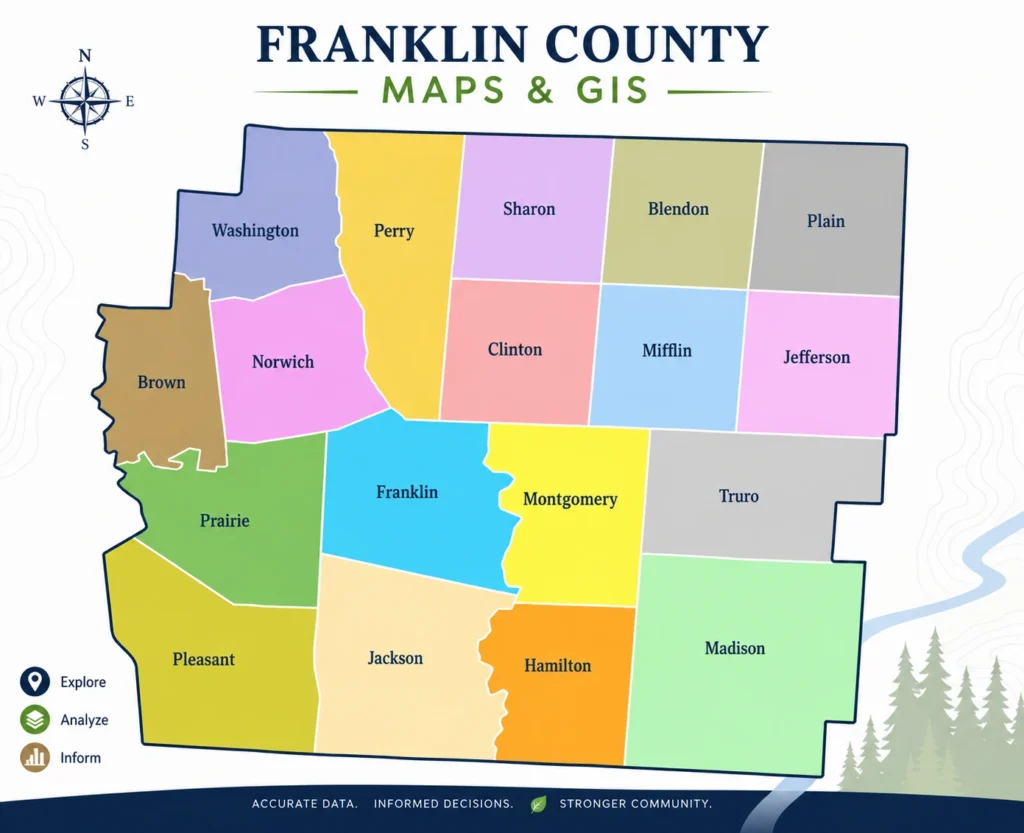
Franklin County Maps & GIS
Franklin County GIS refers to the county’s geographic mapping system, accessible through the Parcel Viewer, which lets you see a property’s location, shape, and boundaries on a map — along with layers like aerial imagery, lot dimensions, and building sketches. It’s a visual complement to property search and records, not a replacement for either, and its parcel lines shouldn’t be treated as a substitute for a licensed survey.
What Is Franklin County GIS?
GIS stands for Geographic Information System — a way of tying information to specific locations on a map rather than presenting it as plain text. Franklin County has used GIS since 1987, and the system has grown into the mapping layer behind much of the county’s property data: it helps the Auditor’s Office appraise real estate consistently, track parcel boundaries, and deliver public-facing tools, while also giving residents, buyers, and researchers a way to explore property information geographically instead of just as a list of fields.
What Can You Find on a Franklin County GIS Map?
Depending on the layer and tool, GIS-based resources can show:
- Parcel boundaries and shapes
- Property addresses and parcel identifiers
- Lot dimensions
- Building sketches/footprints
- Aerial imagery, including historic aerial photos dating back to the early 2000s
- Roads and general geographic context
Not every layer is available for every property or purpose, and coverage can vary — treat this as a general picture of what’s typically available rather than a guarantee for any specific parcel.
Franklin County Parcel Maps
A parcel is a single, distinct piece of real estate with its own identifying number, and a parcel map is the visual representation of that parcel’s boundaries and location relative to its neighbors. On Franklin County’s system, parcel boundary lines are drawn from recorded deeds and survey documents and maintained on an ongoing basis by the county’s GIS staff — they’re a mapped interpretation of the legal record, not a fresh field survey of every property. That distinction matters most if you’re relying on a boundary for something legally significant.
How to Use a Franklin County GIS Map
- Open the Parcel Viewer, the county’s official map-based tool.
- Search for a property by address, owner, or parcel number, or navigate to a location directly on the map.
- Locate the parcel and its boundary outline.
- Toggle the basemap to switch between aerial photography and a standard street map.
- Review the layer legend to understand what’s currently displayed.
- Use the measuring or drawing tools if you need rough dimensions.
- Export or print the map view if you need a copy.
- Verify anything important — boundaries, dimensions, imagery dates — through the official source before relying on it.
How to Find a Property on a Franklin County Map
You can generally locate a property on the map by street address, parcel number, or simply by navigating visually to its location relative to nearby roads or landmarks. If you’re starting from an address or owner name rather than a location on the map, it’s often faster to begin with Franklin County property search and use the resulting parcel number to jump straight to that parcel on the map, rather than hunting for it visually.
GIS vs. Property Search vs. Property Records vs. Property Values
These four resources overlap in subject matter but serve different purposes:
| Resource | Best for | Format |
|---|---|---|
| GIS / Parcel Viewer | Seeing where a property is, its shape, and its surroundings | Map-based |
| Property Search | Finding a specific property’s ownership and valuation record | Lookup-based |
| Property Records | Understanding the fuller history and details behind a record | Text/documentary |
| Property Values | Understanding how and why a value was determined | Explanatory |
If your question starts with “where,” GIS is usually the right starting point. If it starts with “who,” “what,” or “how much,” search, records, or values will get you there faster.
Can GIS Show Property Boundaries?
Yes — parcel boundary lines are a standard part of Franklin County’s GIS data, and they’re genuinely useful for general research: getting a sense of a lot’s shape, checking roughly where one property ends and another begins, or seeing how a parcel relates to a road or easement.
What they shouldn’t be treated as is a legal survey. If you’re dealing with a fence line dispute, a construction setback, or any other situation where the exact legal boundary matters, a mapped GIS line isn’t a substitute for a boundary survey performed by a licensed surveyor.
How Accurate Are GIS Parcel Maps?
Franklin County’s parcel boundaries are derived from recorded deeds and survey documents and updated on an ongoing basis by county GIS staff, which makes them a reasonably reliable reference for everyday research. But “reasonably reliable for research” is different from “legally authoritative” — mapped lines can lag behind a very recent subdivision or boundary change, and the underlying source documents themselves can occasionally contain discrepancies. For anything where precision has real consequences, verify current information directly and consider a professional survey rather than relying on the map alone.
Using GIS for Property Research
Beyond simply locating one property, GIS mapping is useful for:
- Seeing which parcels are adjacent to or near a property you’re researching
- Understanding a parcel’s shape and orientation before a purchase
- Reviewing available aerial imagery, including some historical coverage
- Getting geographic context — nearby roads, general layout — before diving into property records or property values
GIS vs. Property Records
GIS is fundamentally visual — a map you look at. Property records are fundamentally textual — ownership, characteristics, and history presented as data fields rather than shapes on a map. Many research tasks benefit from both: the map to understand where and how big, the record to understand who, what, and how much.
GIS vs. Property Values
GIS can tell you a lot about a parcel’s location and physical context, but it isn’t a valuation tool. A property’s appraised, assessed, and taxable value are determined through the county’s separate valuation process, explained on Franklin County property values — GIS mapping doesn’t replace or substitute for that official figure.
GIS Map Limitations and Important Disclaimers
A few things worth keeping in mind whenever you’re using mapped property data:
- Map data is updated periodically, not necessarily in real time.
- Mapped information can contain errors or lag behind recent changes.
- Parcel lines represent the county’s GIS interpretation of recorded documents, not a certified legal boundary.
- Not every map layer is authoritative for every purpose — an aerial photo’s capture date, for instance, may be older than you’d assume.
- For legally or financially significant decisions, verify directly with the official source, and consult a licensed surveyor where a precise boundary matters.
Who Uses Franklin County GIS?
GIS mapping gets used by a wide range of people for different reasons: homeowners confirming their own lot’s shape, prospective buyers getting a feel for a property before visiting, real estate professionals and researchers analyzing an area, developers and businesses evaluating sites, and residents and planners looking at geographic context more broadly. None of this implies any of these users are accessing an official government system through this guide — the actual mapping tool lives on the county’s own site.
Frequently Asked Questions
What is Franklin County GIS?
A geographic mapping system the county has used since 1987, accessible through the Parcel Viewer, that lets you see property boundaries, locations, and related data on a map rather than as plain text.
How do I find a property on a Franklin County GIS map?
Search by address, owner name, or parcel number, or navigate visually to the property’s location. Starting with a property search first often makes it faster to jump straight to the right parcel.
What is a Franklin County parcel map?
A visual representation of a parcel’s boundaries and location, based on recorded deeds and survey documents maintained by the county’s GIS staff.
Can I see property boundaries on a GIS map?
Yes, parcel boundary lines are a standard GIS layer, though they represent the county’s mapped interpretation of recorded documents rather than a certified legal survey.
Can GIS show who owns a property?
Not directly — ownership information is part of the property record, not the map itself. Use property search or records for ownership details, and GIS for the geographic picture.
What is the difference between GIS and property search?
GIS is a map-based tool for seeing a property’s location and shape. Property search is a lookup tool for finding a specific property’s ownership and valuation record by address, name, or parcel number.
How accurate are Franklin County GIS parcel boundaries?
They’re derived from recorded deeds and surveys and actively maintained, making them reliable for general research, but they aren’t a substitute for a licensed survey when exact legal boundaries matter.
Can I use a GIS map to determine my legal property boundary?
Not on its own. For anything legally significant — a fence line, a setback, a boundary dispute — consult a licensed surveyor rather than relying solely on the mapped line.
Can GIS show property values?
No. Valuation is a separate process; GIS shows location and geographic context, not appraised or assessed value.
How can I research a property using GIS?
Use it to see a parcel’s shape, boundaries, and surroundings, then pair that with property search or records for ownership and valuation details.
Where can I verify current Franklin County GIS information?
Through the official Franklin County GIS and Parcel Viewer resources, linked below.
Is Franklin County GIS information free to access?
The public-facing Parcel Viewer and related property-search tools are generally free to use without an account.
Search a Franklin County Property
Franklin County Property Guide explains how GIS and parcel mapping work, but it doesn’t operate the county’s GIS system or maintain official boundaries.
Search a Franklin County property → — a useful next step for ownership and valuation details alongside the map.
For the official Parcel Viewer and GIS resources, visit gis.franklincountyohio.gov/parcelviewer, maintained by Franklin County.